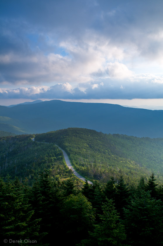
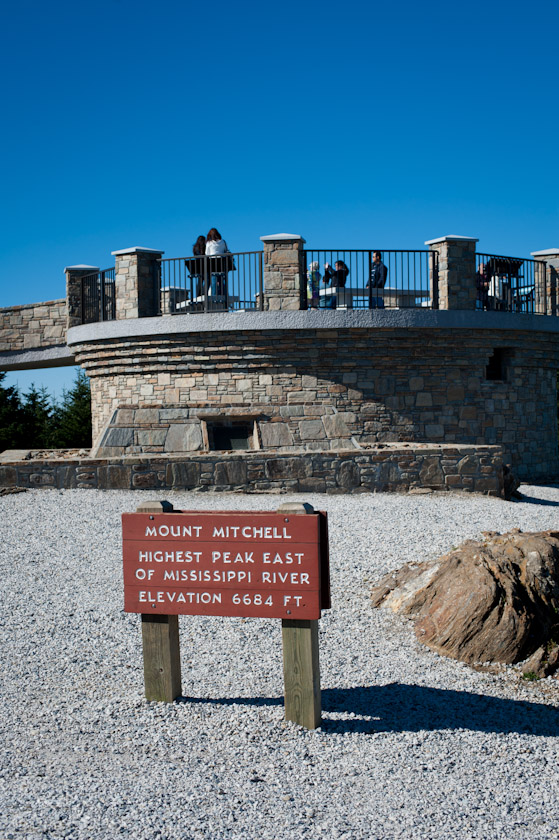
Mt. Mitchell State Park in North Carolina lies in the Pisgah National Forest and boasts the highest peak east of the Mississippi River. It’s elevation reaches to the sky at 6684 feet (give or take an inch, I’d imagine).
The first photo is a view from the observation deck at the summit. The road in the photo is 128, which is just off the Blue Ridge Parkway.

This is the observation deck atop the summit of Mt. Mitchell:

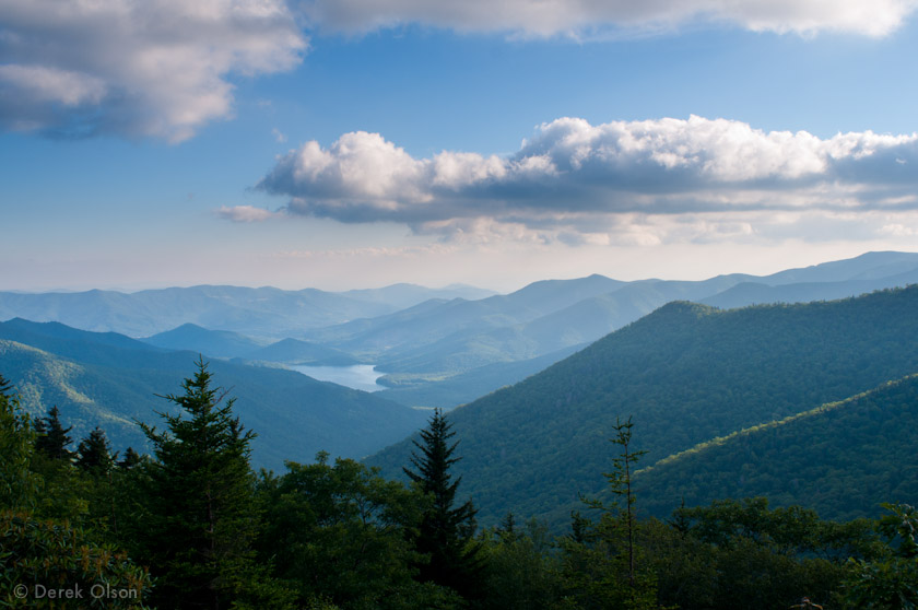
And here is a photo I took just off the Blue Ridge Parkway on the way down from Mt. Mitchell.

Wow! Your pic of the mountains from the BR Pkwy (the one after the Mt. Mitchell observation deck) is amazing. Truly one of the most beautiful I’ve seen of the Blue Ridge Mtns. Is the lake in the pic Burnett Reservoir?